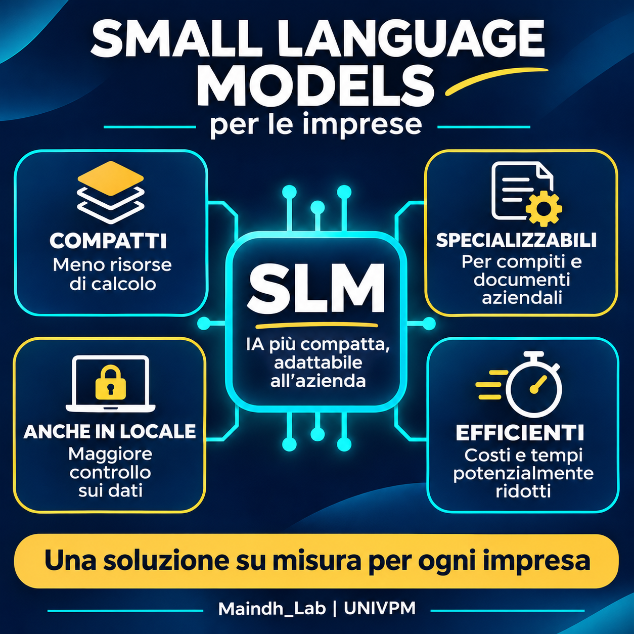
SLMs (Small Language Models) are compact AI models that can be adapted to specific tasks. They offer a way to bring AI to your company’s documents, knowledge and everyday work.
What Maindh can do for you
We design tailored solutions: we organise your data, select and adapt the model, integrate it into workflows and evaluate its responses with the people who use it.
In practice: applications, benefits and working with Maindh
Where they can help
Find answers in manuals and company procedures by connecting the model to verified documents.
Summarise texts, classify requests and extract information from documents.
Support staff with internal assistants dedicated to a clearly defined task.
From need to solution
Define the problem and assess data and feasibility.
Build a prototype, adapting the model where useful and connecting it to company sources.
Test quality and performance, integrate the system and support the team in using it.
Value for your business
For well-defined activities, a compact model can require less computing power and reduce costs and response times. Where the infrastructure and project allow, it can run locally for greater control over data.
The right choice depends on the task, data and hardware. Reliability and benefits must be tested in the actual use case. Human oversight remains part of the process.
Mindful Artificial Intelligence for Innovation and Digital Heritage
We study cultural heritage through artificial intelligence and digital technologies. We develop methods and applications for institutions and businesses, with expertise extending to fashion, design, the marine industry and data analysis.
GEODEMY begins at Università Politecnica delle Marche, connecting satellite data, geospatial AI and European policies for understanding climate, the environment and places.
From capturing reality to building data and models, through to analysis and user experiences.
01
Data capture and survey
Terrestrial and mobile laser scanners, aerial and terrestrial photogrammetry, GNSS positioning, gigapixel and panoramic photography.
02
Models and data
Point clouds, 3D models, geospatial data and BIM/HBIM systems. Data quality and accuracy underpin documentation and monitoring.
03
Interaction and evaluation
XR headsets, interactive devices, eye tracking and tools for studying usability and visitor experience.
On this foundation, we apply artificial intelligence and develop new algorithms and models, with human contribution and review.
We use it and create it
What we do with AI
We turn data, images, texts, 3D models and geospatial information into tools for analysis, interpretation, communication and decision support. We integrate AI, geomatics, computer vision, data analysis, digital heritage and software development.